



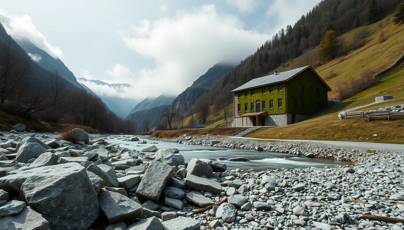
The view over a stream can be attractive. Whether a plot of land suits your construction project, however, does not depend solely on the outlook and the zoning. Before making a binding decision it is worth taking a personal look at natural hazards and the information available about them. A map is the start of a targeted inquiry, not a complete technical assessment of an individual building plot.
Three questions that do not have the same answer
First distinguish what you want to know: Which hazard is shown? What requirements arise for the specific construction project? What insurance cover would actually be negotiable? These questions belong to different parties. Planning information does not replace an official decision or an insurance commitment.
The Austrian water department explains that flood hazard and flood risk maps are intended to make the hazard situation and possibly affected assets visible. They help to orientate where flooding can become a problem. [Q1] That is an important information base. How it applies to your plot and project must then be clarified on a site-specific basis.
Start with an unambiguous plot identification
Our editorial recommendation: collect the address, parcel number and a verifiable location reference. Make sure which area you are actually looking at. A map point on the road can refer to a different section than the planned building area. A photo of the surroundings helps orientation, but does not replace a proper identification.
Record for each map the service, map layer, legend and retrieval date. Note what is shown and which question remains open. If you cannot explain terms or colours, do not treat them as a sure all-clear. Forward the exact source to the responsible specialist office. That is more helpful than the general question whether the municipality has “had water” at some time.
Turn the map view into an assignment for examination
Formulate follow-up questions that relate to your project: Which local information is additionally available? Which data refer to the watercourse, which to other water flows? Is a further investigation required for the planning? Which authority or qualified planner assesses the open question? The article does not claim identical requirements across Austria for every building plot.
Link the answers to their scope. Information about the course of the watercourse does not automatically answer a question about water that flows in from another area after heavy rain. Conversely, an observed puddle is not proof of a particular flood scenario. Observation, map representation and technical assessment remain separate pieces of information.
Example: The driveway is lower than the living rooms
A family inspects a plot on which the access drive is lower than the planned house entrance. Their first attention is on the living accommodation. In the preliminary check, however, questions are also asked about how access, ancillary rooms and technical areas should be assessed in the planned condition. The family hands the sketch with the differing levels to the planner and names the specific map basis.
The result may be a further investigation or an adjustment of the design. Which structural solution is suitable is deliberately not prescribed here. A self-built embankment or an improvised barrier is not a protective obligation to be derived from this article. Changes must also not be made without consideration of their effects on neighbouring areas.
The purchase decision needs a documented status
Draw up a brief summary: clarified point, source of the answer, open question and responsible person. If the technical assessment can only be made later, this uncertainty belongs in the legal and financial purchase preparation. Do not rely on the mere recollection that someone considered a problem unlikely.
Clarify insurance questions separately with the respective provider on the basis of the specific object and the conditions offered. An existing policy of another person is not a commitment for your later contract. For this reason the article therefore names neither blanket cover amounts nor supposedly universally available protection packages.
What to work on next
Start with a map that can be uniquely assigned together with the legend and a sketch of your project. Derive concrete outstanding checks from this. Only when the significance for planning, contract and your own budget is understandable can you consciously assess the situation. The map helps with asking questions; it does not confirm permissibility and promises no lasting freedom from damage.