



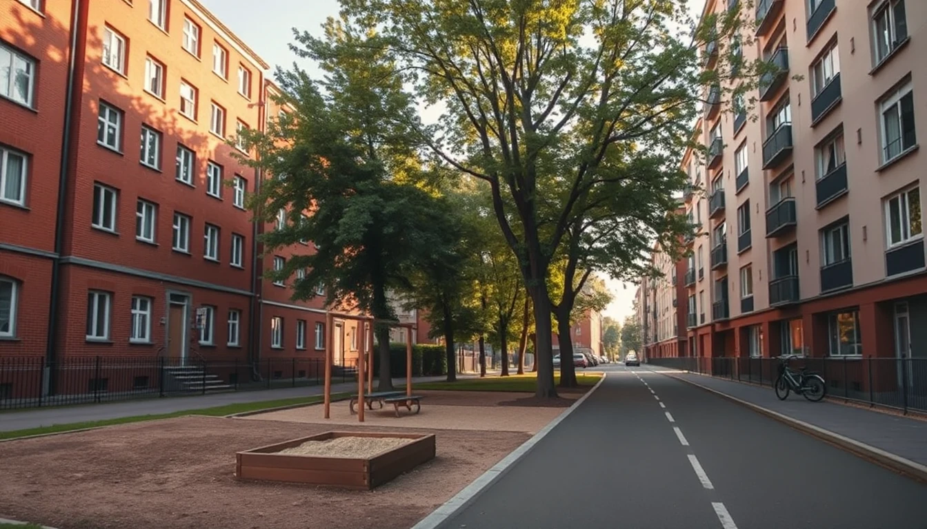
This workshop is a completely fictional example. It describes a method for editorial teams in Austria and Germany, not a real location and not current infrastructure. For a real profile, facts are researched from appropriate local primary sources; third‑party articles, maps and photos are not adopted.
Map one: For whom is orientation missing here?
The office initially thinks of “anyone who wants to live here”. That is too broad. The editorial team decides on people who do not yet know the neighbourhood and want to prepare their first personal site visit. They want to understand which subareas they should look at themselves and which information they should ask about beforehand.
That changes the brief. It is not about a ranking of good and bad streets. Nor is it about describing groups of residents or inferring personal characteristics from the area. The profile should make a manageable space understandable.
As a guiding question the team chooses: “How do I orient myself on a first walk of my own?” The concrete route will be planned later according to the actual circumstances and suitable access points. A private residential address is not used as a public meeting point simply because an interesting object is nearby.
Map two: Which local information is documented?
For the example the editorial team first gathers possible types of information: publicly named institutions, actual route relationships and verifiable place names. In a real profile each of these points receives a source reference and a verification date. Opening hours or transport links are not supplemented from old memories.
The group notices that their proposed boundary “Lindenbogen” might not be an official boundary at all. A profile may treat its own selected section if it describes it clearly. However, it will not be presented as an official neighbourhood if that classification is not supported by evidence.
Open questions therefore also appear on the map: Which institution is actually accessible at present? Which route is publicly usable? Which photo shows merely a surrounding motif? The team decides against supposedly precise walking times as long as there is no suitable verified basis of their own.
Map three: What have we observed ourselves?
The editorial team plans their own appropriate photographs and observations. They record place, date and the situation observed in an internally traceable way. An impression from a single morning is not declared a permanent characteristic of the quarter.
Therefore “It is quiet here” does not become an objective guarantee in the draft. Better is a specifically described observation with its limitation or the question of which times an interested person should check for themselves. For noise, traffic or particular technical risks, additional appropriate sources might be necessary.
Own images are also read critically. A park motif can illustrate part of the surroundings. It does not confirm a private garden nor a particular view from the offered apartment. An artificially produced atmospheric depiction would not be a documentary neighbourhood photo and would have to be classified accordingly.
The first assembly: Three layers instead of a postcard cliché
The team draws its own schematic overview. One layer shows the explicitly named spatial section. A second connects verified public orientation points. The third contains small reader prompts, for example which everyday route they should try during the site visit.
The sketch is recognisably a schematic and does not adopt any third‑party map graphic. It contains no private resident data. Where an exact course is not confirmed, no continuous public route is claimed. The graphic simplification must not obscure an open factual question.
Alongside are a few self‑produced suitable images and short original explanations. The text should not list every institution. It explains why a point is useful for the chosen orientation question. That is a different aim than a collection of local promotional recommendations.
The cross‑check with someone unfamiliar with the place
A person not involved reads the draft and explains what they understood for their first visit. They initially believe that all depicted places lie immediately next to the offered apartment. The editorial team recognises: the transition between neighbourhood profile and specific property is too unclear.
They therefore separate the general surroundings from the individual offer. The profile text promises no property characteristic for every object there. A factually appropriate next step can be one’s own site check or a specific question about the apartment. This reader action is not overloaded with several competing promotional calls to action.
The cross‑check is a limited test of comprehensibility, not proof of general accessibility or a particular advertising effect. It provides a comprehensible reason for change instead of mere taste judgements about a pretty photo.
What remains from the workshop
The office now has its own orientation offering with a defined section, verifiable facts, limited observations and a maintenance task. If an important public reference changes, the affected version will be rechecked. A new publication date alone does not update old local information.
The profile does not promise a suitable lifestyle for every person and no price development. It helps readers to pose their own questions about a specific space. That is precisely the difference between interchangeable location marketing and useful local property knowledge.