



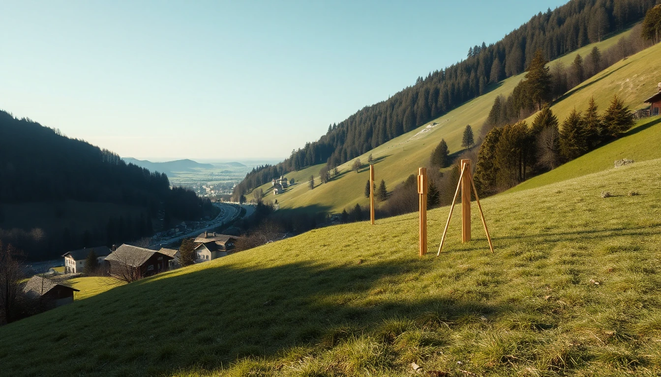
The view is magnificent. Below the offered building plot the ground falls away steeply; above it lie further properties. On inspection everything appears calm. For preparing a building decision this impression is valuable, but it is not yet an assessment of the slope. The right question is not only whether a warning symbol appears somewhere, but which geological conditions and possible processes need to be professionally investigated for the specific project.
What is meant by mass movements
GeoSphere Austria describes gravitational mass movements as gravity-induced displacements of rock or loose rock downhill. This includes different processes, for example landslides and rockfall. The specialist office explains that data and geological expertise belong together for hazard assessment and preventive measures. [HANG]
The collective term therefore does not mean that all visible slopes have the same hazard or are to be treated with the same measure. A possible movement in loose rock and a possible rockfall are different questions. As a buyer you do not have to diagnose the cause yourself. However, you should recognise which specific question has been answered so far.
A map is the start of the conversation
GeoSphere provides geological information and documentation via maps and data portals. The information on GeoFAST published in 2025 explains the nationwide specialist maps at a scale of 1:50.000 and their composition from existing and additionally collected bases. [KARTE] This is an important orientation; no site-specific stability statement for a property is derived from it here.
When researching, keep the map type, the displayed section, the legend and the known source information together. A geological areal depiction does not automatically mean the same as a documented previous movement or a specialist report prepared for the property. An enlarged screen does not give older bases new measurement accuracy.
If you cannot reliably assign a conspicuous entry, take it as a specific question into the professional preparation. Conversely, an unfound piece of information does not become a self-issued all-clear.
The building desire changes the scope of investigation
In the fictional case a couple want not only to erect a house but also to create an access road and gain a larger level garden area. They present these projects together. An earlier brief note on the existing terrain does not readily answer the questions about the newly desired interventions.
The competent expert body therefore receives the location, planned use, known documents and open observations. It is asked about the appropriate scope of investigation and about what can already be assessed with the existing information. The article does not recommend a particular slope, retaining wall or drainage. Such solutions require specific planning and, if necessary, separate administrative clarification.
A reliable decision may contain conditions
The couple record which property and construction questions have been professionally clarified and which have not. Unconfirmed measures costs are not treated as fixed small ancillary items. If the desired solution depends on an open geotechnical result, this dependency remains visible before any further binding decisions.
The article concerns Austrian informational bases and a general preparation on the slope. It neither decides buildability nor a specific natural hazard risk. Its usefulness lies in keeping the beautiful view and the appropriate building brief in the same conversation, without an inspection or regional information being required to prove more than they actually can.